- News
- Leadership
- Military press
-
International cooperation
- International Military Cooperation
- Bilateral and multilateral military cooperation
- Cooperation with NATO
- Participation in international peacekeeping operations
- Implementation of international arms control activities
- CISM - International Military Sports Council
- List of Military Attaches Apparatus of foreign countries resident in Republic of Azerbaijan
- International Army Games
-
Military education
- The system of military science and education of the Azerbaijan Army
- Military Scientific-Research Institute
- Military Administration Institute
- Training and Educational Center of the Azerbaijan Army
- Military Institute named after Heydar Aliyev
- Military Lyceum named after Jamshid Nakhchivanski and Military Lyceum named after Heydar Aliyev
- Military Medical Faculty of the Azerbaijan Medical University
- Memory
- Archive
- Contacts
29 June 2018 18:51
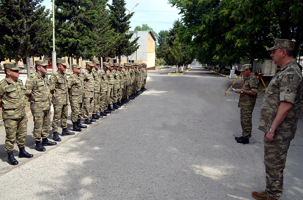
The training sessions were held on the specialty of topogeodesy and hydrography
According to the training plan for 2018, the Navigation and Cartography Department conducted training sessions with officers specializing in the field of topogeodetic support and hydrographic work.
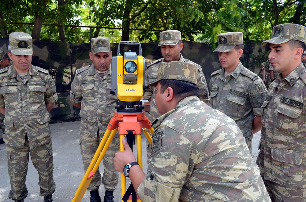
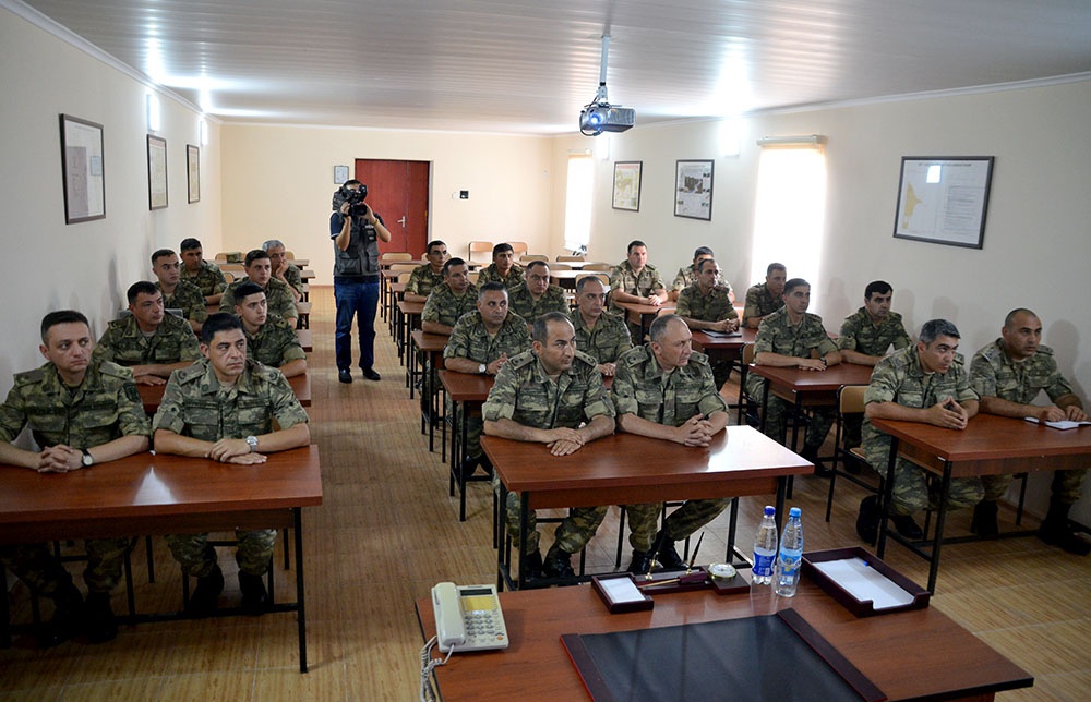
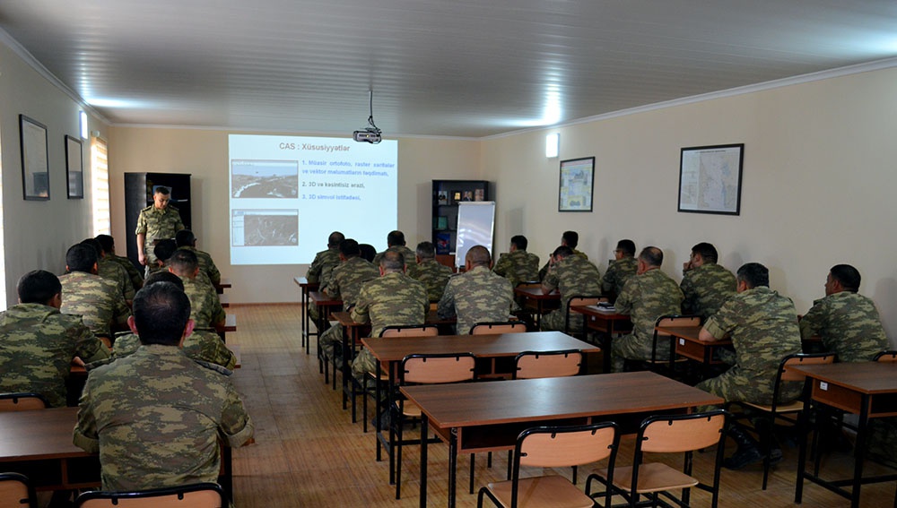
According to the plan, the Department's specialists organized training sessions on the functions of topogeodetic equipment and the Geographic Analysis System software.
During the training sessions, military personnel were fully informed about the digital maps of the Geographic Analysis System software and the rules for working with 3D models, data analysis, the main functions of the software used during operations. The measuring work using special equipment was also practically demonstrated.