- News
- Leadership
- Military press
-
International cooperation
- International Military Cooperation
- Bilateral and multilateral military cooperation
- Cooperation with NATO
- Participation in international peacekeeping operations
- Cooperation with ICRC
- Implementation of international arms control activities
- CISM - International Military Sports Council
- List of Military Attaches Apparatus of foreign countries resident in Republic of Azerbaijan
- International Army Games
-
Military education
- The system of military science and education of the Azerbaijan Army
- Military Scientific-Research Institute
- Military Administration Institute
- Training and Educational Center of the Azerbaijan Army
- Military Institute named after Heydar Aliyev
- Military Lyceum named after Jamshid Nakhchivanski and Military Lyceum named after Heydar Aliyev
- Military Medical Faculty of the Azerbaijan Medical University
- Memory
- Archive
- Contacts
3 June 2022 16:35
The combat readiness of topographers was inspected - VIDEO

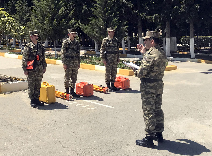
In accordance with the 2022 training plan, combat readiness was checked in one of the topographic military units.
First, an inspection of office premises for military personnel, premises for checking electronic maps and preparing a terrain model board, as well as topographic maps storage was carried out.
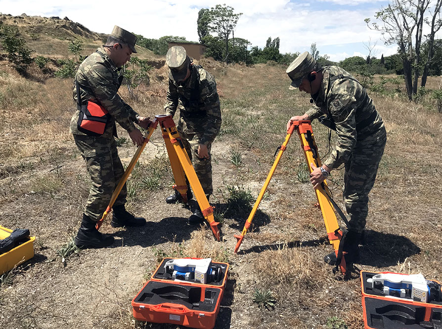
Then, the military personnel practically fulfilled the tasks of orientation on the terrain, determining the coordinates of the stopover points using the Global Positioning System (GPS), as well as topogeodesy provision using modern equipment and software.
Theoretical knowledge and practical skills of military personnel were tested and assessed.
The main purpose of the conducted measures is to improve the knowledge and skills of military topographers, to organize the specialty of military topography at the level of modern requirements, as well as to operatively accomplish topogeodesy provision tasks.


