- News
- Leadership
- Military press
-
International cooperation
- International Military Cooperation
- Bilateral and multilateral military cooperation
- Cooperation with NATO
- Participation in international peacekeeping operations
- Cooperation with ICRC
- Implementation of international arms control activities
- CISM - International Military Sports Council
- List of Military Attaches Apparatus of foreign countries resident in Republic of Azerbaijan
- International Army Games
-
Military education
- The system of military science and education of the Azerbaijan Army
- Military Scientific-Research Institute
- Military Administration Institute
- Training and Educational Center of the Azerbaijan Army
- Military Institute named after Heydar Aliyev
- Military Lyceum named after Jamshid Nakhchivanski and Military Lyceum named after Heydar Aliyev
- Military Medical Faculty of the Azerbaijan Medical University
- Memory
- Archive
- Contacts
21 May 2018 15:50
Military topographers held a military-scientific conference

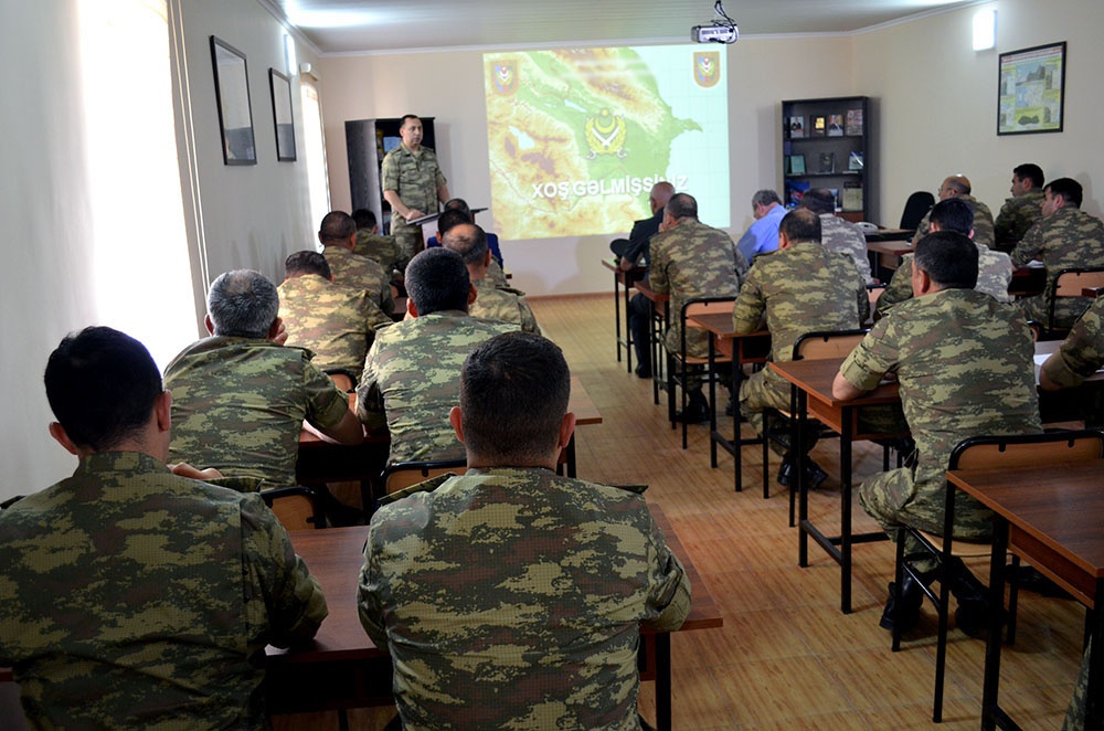
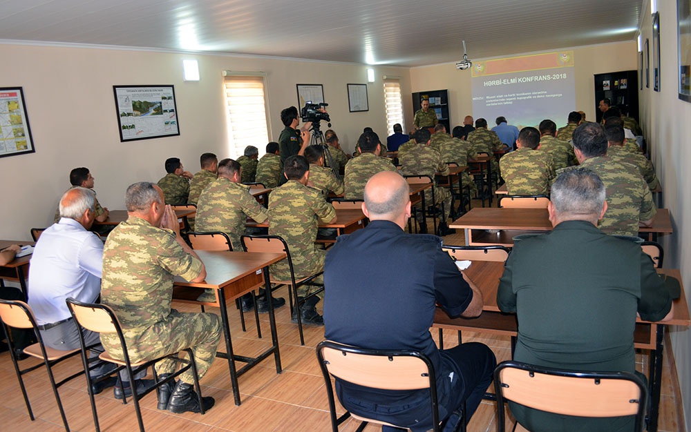
In accordance with the plan of scientific work for 2018, a military-scientific conference on the topic "Application of Digital Topographic Maps & Marine Navigation Charts in the Modern Weapons and Military Equipment Control Systems" was held.
The conference was attended by chiefs of topography and hydrography services of army corps and formations, as well as teachers on the military topography of special military institutions.
During the event, discussions were held on Topographic Maps & Marine Navigation Charts, their importance, preparation, and use, as well as the use of digital maps in the Modern Weapons and Military Equipment Control Systems.


