- News
- Leadership
- Military press
-
International cooperation
- International Military Cooperation
- Bilateral and multilateral military cooperation
- Cooperation with NATO
- Participation in international peacekeeping operations
- Cooperation with ICRC
- Implementation of international arms control activities
- CISM - International Military Sports Council
- List of Military Attaches Apparatus of foreign countries resident in Republic of Azerbaijan
- International Army Games
-
Military education
- The system of military science and education of the Azerbaijan Army
- Military Scientific-Research Institute
- Military Administration Institute
- Training and Educational Center of the Azerbaijan Army
- Military Institute named after Heydar Aliyev
- Military Lyceum named after Jamshid Nakhchivanski and Military Lyceum named after Heydar Aliyev
- Military Medical Faculty of the Azerbaijan Medical University
- Memory
- Archive
- Contacts
8 May 2019 11:04
A scientific-practical conference of military topographers and hydrographs was held

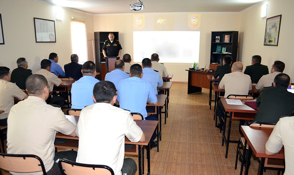
According to the training plan for the 2019 academic year, a scientific-practical conference on the topic “Ensuring the Transition to a Unified Coordinate System and the Prospects of Using Geographic Information Systems in the Azerbaijan Army” was held for military topographers and hydrographs.
The conference, organized by the Department of Navigation and Cartography of the Ministry of Defense, highlighted the importance of the strategic and tactical characteristics of modern weapons and military equipment adopted into the armament by the Azerbaijan Army, as well as the effectiveness of using digital, vector maps and geographic information systems successfully used in their control system.
In the course of the event, presentations were made on the use of new technologies during photographic work and geodetic measurements, the appliance of modern software in the preparation of maps of various projections and the coordinate system and the transition to a Unified Coordinate System.


